Alpine Loop Colorado
BusaDave9
Always Off-Roading Jeeper
- Posts
- 8,248
- Media
- 360
- Resources
- 2
- Thanks
- 87
- Location
- Durango, Crawlarado
- Vehicle(s)
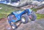
- 1979 Jeep CJ5 with 304 V8, T18 Transmission, Dana 20 Transfer case with TeraLow 3:1 gears, 4.88 axle gears, Detroit Locker up front and Ox Locker in back with 1 piece axle shafts, 36" SuperSwamper SX Tires, Shackle reversal, MileMarker Hydraulic winch, MSD 6A ignition.
I went on the Alpine Loop. These are 4x4 and ATV trails in southwestern Colorado that loop between Silverton, Ouray and Lake City. Most of the Alpine Loop is very easily traveled in a stock jeep. You don't need lockers or much experience.
The east end of both of these trails are more gradual and easier than the west end. And Cinnamon Pass trail is easier than Engineer Pass trail.
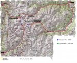
The route I took is marked in Red. If you would rather start in Silverton instead of Ouray you will use the trail marked in blue instead of Lower Engineer Pass Trail.
The only rough section is the Lower Engineer Pass Trail. That is where I started my trip around the Alpine Loop. Even this section is easily traveled in a stock Jeep.
The first day I only traveled on Engineer Pass Trail. I spent the night in Lake City before continuing back over Cinnamon Pass trail.
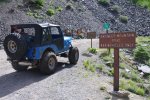
I started my trip from highway 550. Just 3.5 miles south of Ouray is the trailhead.
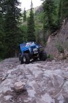
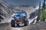
Here is where I locked into four wheel drive and aired down to 9 psi. This trail gets rough right from the start. It is almost all rock. Just put it in 4WD Low don't expect to go more than a few miles an hour. It's not hard and as I said before even a stock Jeep can make it.
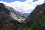
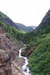
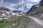
The trail gains altitude quickly. You can see highway 550 in the picture above.
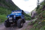
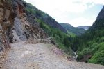
It does get a little off camber at times but even the most top-heavy jeeps shouldn't have a problem.
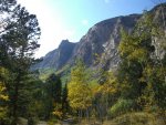
At times the canyon gets to be very steep sided.
But it's not like Black Bear Pass. Their are plenty of places to pass and there are no scary switchbacks.
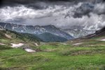
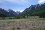
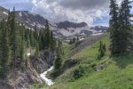
After a while you get up above the tree-line.
It wasn't long before dark clouds moved in. Up here in the mountains the weather can change very fast. It may look like wonderful weather and then 15 minutes later you are in a downpour. On the other hand there are many times dark clouds move in and it looks like you need to prepare for a major thunderstorm but 10 minutes later the clouds blow away without raining a drop. During my trip the clouds came and left. At times it did rain a bit.
Here even the smallest cloud fragments looked menacing.
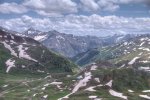
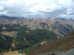
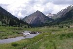
As I approached Engineer Pass it looked like I was on top of the world. I started my trip in the valley that extends out the right of this next picture.
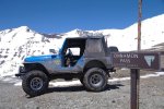
When I was at the sign at Engineer Pass the cold rain came down sideways. On top of a 13,000 foot mountain is not the place to be duiring a lightning storm so I continued on. Before long the rain stopped, but I wouldn't stay dry for the rest of the trip.
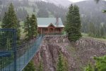
Just East of the pass there is this cabin that comes with it's own swinging bridge. It's for sale if you have a few hundred thousand extra dollars. I can't seem to find it's web site today. I don't know why it's so expensive. It's very nice but small and extremely remote.
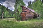
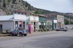
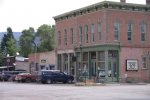
When I was about half way from Ouray to Lake City I got to Capitol City. Not much of a town anymore. It's a ghost town with a couple of very old buildings.
Plus there are newer cabins. This huge cabin looks out of place out here.
Even though I am half way to Lake City I am home free. A 2WD can make it easily. I air up my tires and put it into 2WD.
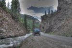
As I get closer to Lake City Hanson Creek goes through a canyon with very steep walls.
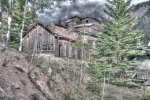
Then I get to the Ute Ulay Mine:
Only a few more miles to my motel in Lake City.
Last edited:

