Climbing Gibbs Peak
BusaDave9
Always Off-Roading Jeeper
- Posts
- 8,248
- Media
- 360
- Resources
- 2
- Thanks
- 87
- Location
- Durango, Crawlarado
- Vehicle(s)
- 1979 Jeep CJ5 with 304 V8, T18 Transmission, Dana 20 Transfer case with TeraLow 3:1 gears, 4.88 axle gears, Detroit Locker up front and Ox Locker in back with 1 piece axle shafts, 36" SuperSwamper SX Tires, Shackle reversal, MileMarker Hydraulic winch, MSD 6A ignition.
In the last episode, as you may remember, I took my jeep up Deadwood mountain.
http://www.jeep-cj.com/forums/f63/climbing-deadwood-mountain-19356/
While I was up on Deadwood Mountain I looked across the valley and saw a trail going up Gibbs Peak. I decided, that's where I want to go next.
So this weekend that's what I did: I took my jeep as far up Gibbs Peak as I could then I continued on foot.
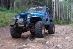
My map said this trail was doubly difficult (all the more reason to head there). I did almost the entire trail in 4WD low with my tranny in 2nd. There were a couple of steep, rocky slopes that I locked my rear OX locker. I like to keep the diff unlocked until I need it. But of course I don't want to wait until I am actually stuck or having trouble. I don't have any pictures of the difficult spots. Those were the places I wanted to keep moving. Actually this trail was not as bad as the map made it out to be.
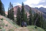
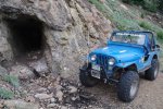
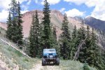
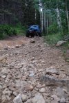
The above pic was taken at the highest point I could drive my jeep. It was a nice wide spot I could turn around if I wanted. As the trail continued it got very narrow and went down to a mine. I was able to turn around there. I came back and checked out a fork I passed earlier. I was looking for a trail that would take me higher. The fork ended at another mine.
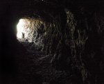
I decided to explore the mine. I carry a flashlight in my CJ. I don't think I have hardly used my flashlight since I replace the batteries but that was a couple years ago. It didn't put out much light.
I decided to leave my jeep at the mine and continue on foot.
This was not a good route. The mountain side got very steep.
As I continued I found a foot trail that zigged and zagged its way up.
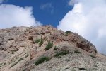
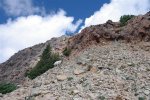
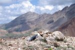
Up near the peak it got very rocky with ledges. I was thinking that's where I would stop and turn around. I had my dog Koda and my excuse for stopping would be that Koda couldn't climb those ledges. Yes, that sounds believable, it's Koda, he can't climb up ledges.
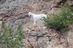
But then Koda scampered up the first set up ledges and looked back at me as if to say "what's taking you so long?"
Okay, okay, I'm running out of excuses. I might as well climb the last section to the top.
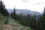
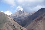
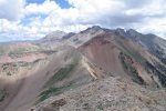
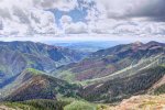
There were fantastic views from the top. To the north there were some taller mountains.
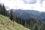
This next picture is HDR. My house is out this valley. You can't see it because of hills in the way.
At the top of the mountain there was a tube. Inside the tube was a climbers log where people who climbed the mountain would sign their names and put down some type of notes.
So then I started my way down the mountain. When I got back to my jeep I had lunch.
Tune in next week when I tackle the trails over Silverton Colorado.
Same bat channel same bat time.

