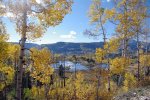
Fall in the San Juan Mountains
BusaDave9
Always Off-Roading Jeeper
- Posts
- 8,248
- Media
- 360
- Resources
- 2
- Thanks
- 87
- Location
- Durango, Crawlarado
- Vehicle(s)
- 1979 Jeep CJ5 with 304 V8, T18 Transmission, Dana 20 Transfer case with TeraLow 3:1 gears, 4.88 axle gears, Detroit Locker up front and Ox Locker in back with 1 piece axle shafts, 36" SuperSwamper SX Tires, Shackle reversal, MileMarker Hydraulic winch, MSD 6A ignition.
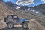
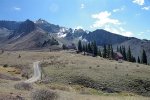
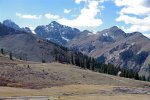
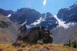
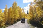
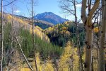
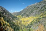
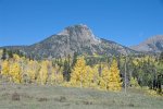
This weekend I took my jeep out into the San Juan Mountains to enjoy the fall colors. These mountains cover the southwestern part of Colorado but more specifically all of my pictures here were taken near Silverton Colorado.
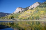
Although this is a 4x4 trail report this first picture was taken just off highway 550 near the Durango Mountain Resort.
This ranch is under the Hermosa Cliffs.
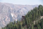
I went through Silverton and as I approached the Mayflower Mine I turned off the main road and locked my hubs. There are a lot of gold and silver mines in this area. Becouse of the rugged terrain the miners used areal trams to bring the raw ore to the mill. I shot this pic during an earlier trip to the area. These aerial trams are no longer in use.
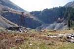
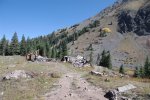
The 4x4 trail roughly followed one of these tramways up into Arrastra Gulch. After about an hour I reached Black Prince Mining Camp.
The mines were dug into the far cliff in the above pic.
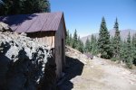
Most of the buildings are in ruins. Getting to the old mining camp wasn't hard but the trails around the camp were narrow, very rocky and at times very off camber.
I continued on the trail that climbed higher into the mountains and I took this one last picture of the Black Prince Mining camp.
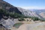
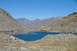
The trail climbed above the tree line and I took this picture of Gold Lake.
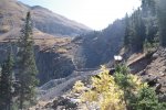
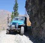
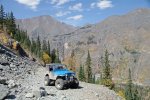
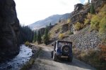
The only way down was back on the same trail I came up on. As you can see in this next picture the trail is very narrow at times.
These trails are usually well maintained but today I ran into several places the side of the trail got washed out and I needed to hug the inner wall. Once I got to the bottom of Arrastra Gulch I climbed Hazelton Mountain on the south side of the gulch.
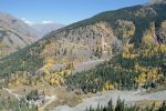
Looking back across Arrastra Gulch you can see the trail system I was on earlier. The mines are at much higher elevations up and to the right, out of view.
You can see a huge cabin in the bottom of the gulch. The county is trying to outlaw such big buildings away from town. The law says a cabin can't be over a certain size. I'm not sure but I think the law has now been passed.
Next I headed up Eureka Gulch.
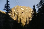
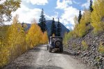
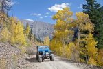
It's the aspen trees that turn a brilliant yellow this time of the year.
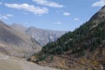
As I reached higher elevations I took this pic looking back down.
There were mines up here too. (there are mines everywhere in these mountains). Here is a closer picture of a mining tram building also seen in the above pic.
After Eureka gulch I headed back toward Silverton on a mild trail.
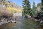
You could drive a 2WD on this road, that is until I saw a river crossing that just begged to be crossed.
There was a mine and an old mill on the other side of the river. I took this next pic from the edge of the Animas River and modified it with HDR software.
Last edited:



 Great pics Dave! Ditto on God's country!!