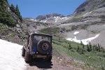
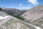
LaPlata Mountains
BusaDave9
Always Off-Roading Jeeper
- Posts
- 8,248
- Media
- 360
- Resources
- 2
- Thanks
- 87
- Location
- Durango, Crawlarado
- Vehicle(s)
- 1979 Jeep CJ5 with 304 V8, T18 Transmission, Dana 20 Transfer case with TeraLow 3:1 gears, 4.88 axle gears, Detroit Locker up front and Ox Locker in back with 1 piece axle shafts, 36" SuperSwamper SX Tires, Shackle reversal, MileMarker Hydraulic winch, MSD 6A ignition.
This weekend I took my CJ5 into the LaPlata Mountains. These mountains are just west of Durango. While my favorite base camp is Silverton the LaPlata mountains are very close. It only takes me 20 minutes to reach the trailhead.
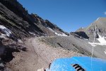
The road into the LaPlata Mountains starts off paved. It then turns to gravel. It gradually gets rougher until you reach a sign saying you need four wheel drive to continue.
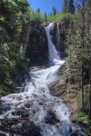
As I climbed into the valley I stopped at Tomahawk Falls.
These falls are just below the 4x4 trail. For that reason I think a lot of people don't take the small fork to reach the base of the falls. I think a lot of people drive right past it without knowing there are water falls there.
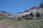
At the high end of LaPlata valley I reach Cumberland Basin. There is a mining site there. Actually there are lots of mines in these mountains. Mostly for gold and silver (both in the same mine) Most mines produce more silver by volume but more gold by dollar value.
Note the notch in the far ridge in these 2 pictures. I will be heading there soon.
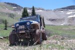

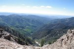
At the top is Kennebec Pass. Here's the view.
I then continued to the Cumberland Gap. It's a notch they cut in the rock between Cumberland Mountain (on the left) and Snowstorm Peak (on the right). When I got to the notch I took this next pic from my drivers seat.
Durango is in the distant right in the above pic.
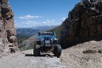
And here's my '79 CJ5 at the notch.
If I were to accidentally drive a couple more feet I would tumble down the valley pictured above.
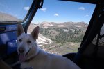
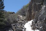
In previous years they put boulders where Koda is in the above pic. Now I think, with a little trail maintenance, a jeep could go to the next mine. I continued on foot.
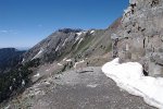
This next pic looks narrow but a jeep could drive this trail. Well, at least here. There are some slides that would need rocks and gravel moved and one big rock that fell down from the cliff.
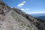
I reached a mine and then left the wide trail for this narrow one.
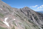
Looking back you can see the mine in this next picture and at the top is the notch I left my jeep at.
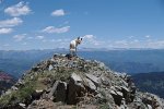
I made it to the ridge and looked over into the next basin. At the crest I shot this of the Columbia Basin. It started off as 5 pictures I made into a panorama. This is more than 180°
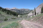
I went back to my jeep and drove around to the same basin.
You can't see it in the above picture but the stream overflowed and followed the 4x4 trail eroding one side of it. I had to drive that section with 2 tires in the water with my CJ tilting to the side.
Then I came across some snow.
Not bad. I walked ahead but around the bend was an impassible snow field. This was the place to turn around.
Next I went up the opposite side of the basin.
Last edited:

