Scotch Creek
BusaDave9
Always Off-Roading Jeeper
- Posts
- 8,248
- Media
- 360
- Resources
- 2
- Thanks
- 87
- Location
- Durango, Crawlarado
- Vehicle(s)
- 1979 Jeep CJ5 with 304 V8, T18 Transmission, Dana 20 Transfer case with TeraLow 3:1 gears, 4.88 axle gears, Detroit Locker up front and Ox Locker in back with 1 piece axle shafts, 36" SuperSwamper SX Tires, Shackle reversal, MileMarker Hydraulic winch, MSD 6A ignition.
I took my CJ5 into the mountains behind Purgatory Ski resort.
This is about 26 miles north of Durango.
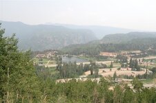
The air was smoky from distant forest fires. The ski slopes are out of the picture to the right in this next picture.
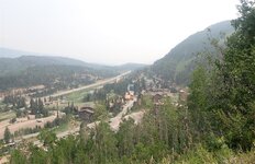
The trails near the resort are actually gravel roads.
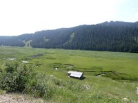
I drive along the East Fork Hermosa Creek.
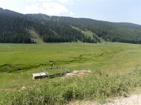
This is a beautiful valley.
As I go west the trails become narrower and slightly rougher.
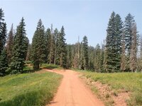
In the above picture I went strait to Scotch Creek. To the left is Divide Road. That's where I came out.
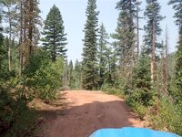
This next picture is Scotch Creek. Not much of a creek.
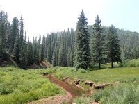
At noon I reach highway 145.
One of the main reasons I took this trail is to see how if it would be a good trail for the Jeep-CJ trail ride. At first I was thinking these trails were too far from Silverton. That's not true. I think maybe we'll try out these trails next month.
I took highway 145 a few miles south.
I turn off the highway at Roaring Fork Creek and follow the trail into the mountains.
I then follow the high ridge. This is called the Divide Road. It has great views in each direction.
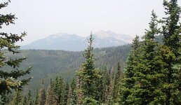
I work my way back to Purgatory Ski Resort. From there I take highway 550 back home.
In Durango I fill up. My big thirsty AMC 304 V8 used 12.5 gallons of gas the whole trip. That's important. It tells me anyone participating in the Jeep-CJ.com trail ride can do this without worrying about gas. Durango is further than Silverton and there aren't any gas stations on the way. Well ... actually if we made it to highway 145 and someone was desperate for gas I guess we could go up to the town of Rico. Once there we wouldn't want to take Roaring Fork Trail, that would be too far. Instead we'd take Hermosa Park to Bolam Pass to get back to Purgatory.
This is about 26 miles north of Durango.

The air was smoky from distant forest fires. The ski slopes are out of the picture to the right in this next picture.

The trails near the resort are actually gravel roads.

I drive along the East Fork Hermosa Creek.

This is a beautiful valley.
As I go west the trails become narrower and slightly rougher.

In the above picture I went strait to Scotch Creek. To the left is Divide Road. That's where I came out.

This next picture is Scotch Creek. Not much of a creek.

At noon I reach highway 145.
One of the main reasons I took this trail is to see how if it would be a good trail for the Jeep-CJ trail ride. At first I was thinking these trails were too far from Silverton. That's not true. I think maybe we'll try out these trails next month.
I took highway 145 a few miles south.
I turn off the highway at Roaring Fork Creek and follow the trail into the mountains.
I then follow the high ridge. This is called the Divide Road. It has great views in each direction.

I work my way back to Purgatory Ski Resort. From there I take highway 550 back home.
In Durango I fill up. My big thirsty AMC 304 V8 used 12.5 gallons of gas the whole trip. That's important. It tells me anyone participating in the Jeep-CJ.com trail ride can do this without worrying about gas. Durango is further than Silverton and there aren't any gas stations on the way. Well ... actually if we made it to highway 145 and someone was desperate for gas I guess we could go up to the town of Rico. Once there we wouldn't want to take Roaring Fork Trail, that would be too far. Instead we'd take Hermosa Park to Bolam Pass to get back to Purgatory.

