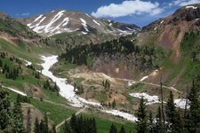
Silverton Trails July 2019
BusaDave9
Always Off-Roading Jeeper
- Posts
- 8,248
- Media
- 360
- Resources
- 2
- Thanks
- 87
- Location
- Durango, Crawlarado
- Vehicle(s)
- 1979 Jeep CJ5 with 304 V8, T18 Transmission, Dana 20 Transfer case with TeraLow 3:1 gears, 4.88 axle gears, Detroit Locker up front and Ox Locker in back with 1 piece axle shafts, 36" SuperSwamper SX Tires, Shackle reversal, MileMarker Hydraulic winch, MSD 6A ignition.
I took my Jeep to the trails around Silverton CO. These are the same trails we'll be on in a couple of weeks for the 9th Annual Colorado Trail Ride. I didn't want to call the thread "Ouray Trails" because I didn't go to Yankee Boy Basin, Imogene Pass or the other trails that are considered Ouray Trails.
Here's a GPS map of my route:
https://spotwalla.com/tripViewer.php?id=1eec95d1e09016f4f0&hoursPast=0&showAll=yes
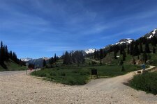
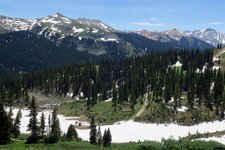
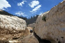
There's been a tremendous amount of snow and avalanches this year.
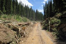
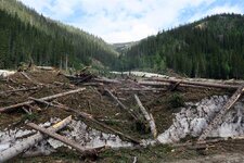
A lot of mature trees were taken down by avalanches.
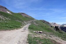
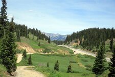
First I headed up Hurricane pass.
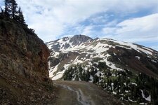
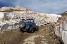
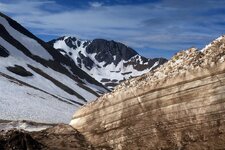
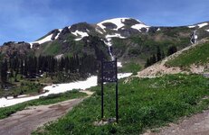
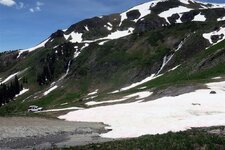
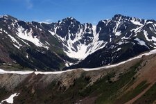
At the top of Hurricane pass I took this next picture of Poughkeepsie Gulch. Parts are dry but many parts are blocked by snow. They don't use the bulldozers on Poughkeepsie Gulch. That is Lake Como still frozen in July.
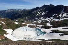
Then I headed over California Pass and down California Gulch.
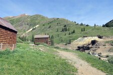
Animas Forks Ghost town has very little snow.
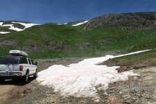
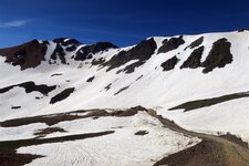
I had to take this indirect route to Animas Forks ghost town. This next picture is the road that goes directly back to Silverton. As you can see their is a large avalanche that is still blocking the road. Our Jeep-CJ trail ride will be in 2 weeks. I hope they have this road open by then.
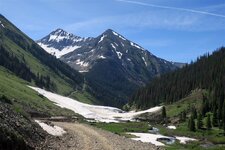
I went as far as I could and parked my Jeep. The avalanche came from behind me. It continued in front of where I now have my jeep. YOu can see a lot of trees that the avalanche knocked down.
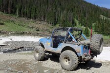
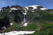
This next picture is looking to where the avalanche came from.
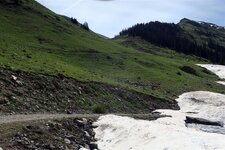
I turned around and headed past Animas Forks Ghost Town again.
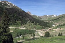
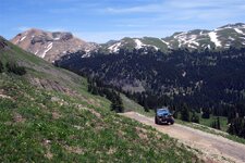
Next I headed for Engineer Pass. I heard it was still closed due to an avalanche but that turned out to be wrong. It was open and I took it all the way down to highway 550.
This next picture is of Poughkeepsie Gulch.
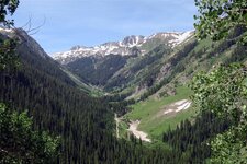
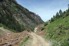
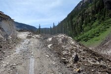
There was a Toyota Convention going on. I often had to wait till the trail was clear so I could continue.
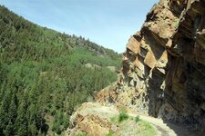
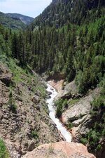
Next I wanted to head to Black Bear Pass. I knew it was still closed but I wanted to see what kind of shape it was in.
To be continued ...
Here's a GPS map of my route:
https://spotwalla.com/tripViewer.php?id=1eec95d1e09016f4f0&hoursPast=0&showAll=yes
There's been a tremendous amount of snow and avalanches this year.
A lot of mature trees were taken down by avalanches.

First I headed up Hurricane pass.


At the top of Hurricane pass I took this next picture of Poughkeepsie Gulch. Parts are dry but many parts are blocked by snow. They don't use the bulldozers on Poughkeepsie Gulch. That is Lake Como still frozen in July.

Then I headed over California Pass and down California Gulch.

Animas Forks Ghost town has very little snow.

I had to take this indirect route to Animas Forks ghost town. This next picture is the road that goes directly back to Silverton. As you can see their is a large avalanche that is still blocking the road. Our Jeep-CJ trail ride will be in 2 weeks. I hope they have this road open by then.

I went as far as I could and parked my Jeep. The avalanche came from behind me. It continued in front of where I now have my jeep. YOu can see a lot of trees that the avalanche knocked down.

This next picture is looking to where the avalanche came from.

I turned around and headed past Animas Forks Ghost Town again.

Next I headed for Engineer Pass. I heard it was still closed due to an avalanche but that turned out to be wrong. It was open and I took it all the way down to highway 550.
This next picture is of Poughkeepsie Gulch.


There was a Toyota Convention going on. I often had to wait till the trail was clear so I could continue.


Next I wanted to head to Black Bear Pass. I knew it was still closed but I wanted to see what kind of shape it was in.
To be continued ...

