Stony Pass
BusaDave9
Always Off-Roading Jeeper
- Posts
- 8,248
- Media
- 360
- Resources
- 2
- Thanks
- 87
- Location
- Durango, Crawlarado
- Vehicle(s)
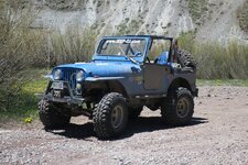
- 1979 Jeep CJ5 with 304 V8, T18 Transmission, Dana 20 Transfer case with TeraLow 3:1 gears, 4.88 axle gears, Detroit Locker up front and Ox Locker in back with 1 piece axle shafts, 36" SuperSwamper SX Tires, Shackle reversal, MileMarker Hydraulic winch, MSD 6A ignition.
I took my Jeep over Stony Pass near Silverton CO. This is similar to one of the trail rides we'll be doing during the Jeep-CJ trail ride. Stony Pass is the way to Beartown site and Kite lake.
I when through Silverton and continued north. Just after crossing the small bridge over the creek I turned right onto county road 2. The intersection is in this picture.
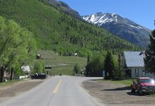
If I were to go strait I would be able to go to Corkscrew Pass or Hurricane Pass. I am giving more explicit instructions for anyone that might be thinking of helping me lead during the Jeep-CJ trail ride. (hint, hint)
Actually I no longer think that will be much of an issue.
County Road 2 starts off paved but turns to gravel. This next picture is of Howardsville. Howardsville really isn't much of a town I think it has one or 2 newer houses but most of the "town" is mining buildings still in use.
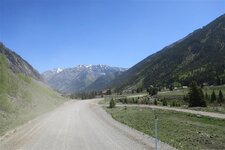
In Howardsville we approch the bridge in this next picture and take an immediate right.
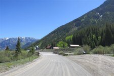
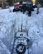
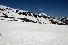
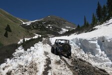
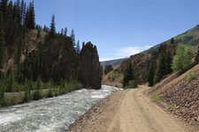
This is a good place to lock our hubs even though we can continue for a ways in 2WD. Then I start to climb, climb, climb. It is June 10th and there is still snow everywhere.
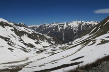
The temperature is not bad. This snow is melting fast. This last winter was much snowier than usual, especially in the mountains.
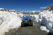
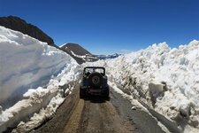
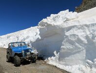
Some of the snow drifts were still over ten feet high.
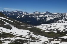
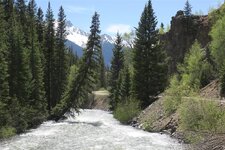
Then I started to descend down the eastern side. This is the source of the Rio Grande River. I's just a tiny creek here but it's the same Rio Grande that forms the border between the US and Mexico.
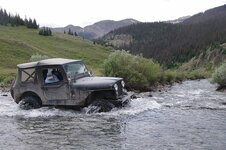
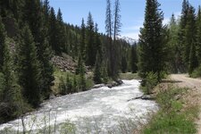
Then I came to Pole Creek. I remember two years ago when the 5th annual Jeep-CJ trail ride crossed Pole Creek, we didn't even get our hubs wet. But this year the water was very high and running very fast.
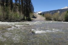
I rode to the center of the creek (relative calm in the above picture). But then it went deeper and faster. It think my little CJ5 with big tires could get pushed sideways. I decide to turn back.
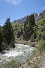
Before heading back I stopped and took a short walk to the Rio Grande River.
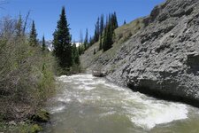
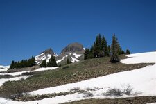
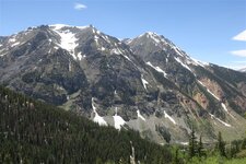
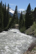
This next picture is Canby Mountain near the summit of Stony Pass.
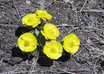
I saw some high mountain flowers in this short growing environment.
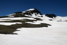
After crossing the pass I continued down the western side toward Silverton.
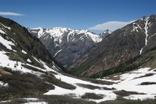
Then I took a sidetrack to Rein Gulch where I saw this mine.
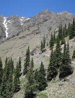
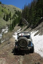
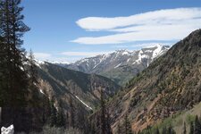
Instead of taking the main road back to Silverton I took a trail that used to be an old railroad grade.
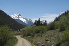
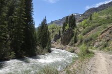
It followed the Animas River.
I when through Silverton and continued north. Just after crossing the small bridge over the creek I turned right onto county road 2. The intersection is in this picture.

If I were to go strait I would be able to go to Corkscrew Pass or Hurricane Pass. I am giving more explicit instructions for anyone that might be thinking of helping me lead during the Jeep-CJ trail ride. (hint, hint)
Actually I no longer think that will be much of an issue.
County Road 2 starts off paved but turns to gravel. This next picture is of Howardsville. Howardsville really isn't much of a town I think it has one or 2 newer houses but most of the "town" is mining buildings still in use.

In Howardsville we approch the bridge in this next picture and take an immediate right.

This is a good place to lock our hubs even though we can continue for a ways in 2WD. Then I start to climb, climb, climb. It is June 10th and there is still snow everywhere.

The temperature is not bad. This snow is melting fast. This last winter was much snowier than usual, especially in the mountains.


Some of the snow drifts were still over ten feet high.

Then I started to descend down the eastern side. This is the source of the Rio Grande River. I's just a tiny creek here but it's the same Rio Grande that forms the border between the US and Mexico.

Then I came to Pole Creek. I remember two years ago when the 5th annual Jeep-CJ trail ride crossed Pole Creek, we didn't even get our hubs wet. But this year the water was very high and running very fast.

I rode to the center of the creek (relative calm in the above picture). But then it went deeper and faster. It think my little CJ5 with big tires could get pushed sideways. I decide to turn back.
Before heading back I stopped and took a short walk to the Rio Grande River.


This next picture is Canby Mountain near the summit of Stony Pass.

I saw some high mountain flowers in this short growing environment.


After crossing the pass I continued down the western side toward Silverton.

Then I took a sidetrack to Rein Gulch where I saw this mine.


Instead of taking the main road back to Silverton I took a trail that used to be an old railroad grade.

It followed the Animas River.


